Mountains and hiking · Anti-Atlas
Ameln valley and Jbel Lekst
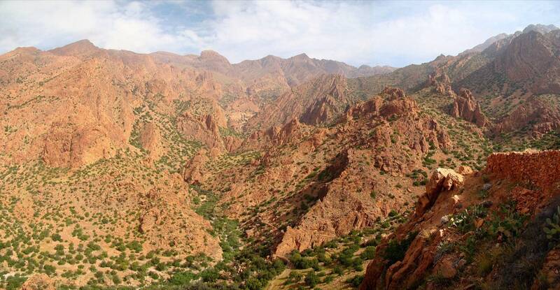
Walks between 26 villages under the pink granite wall of Jbel Lekst. Almond trees bloom in February-March.
1 or moredays
2,359 mhighest point
moderatedifficulty
9 kmdistanceLekst day hike
When to go
JFMAMJJASOND
How high
The trek at a glance
- Start: Tafraout / Oumesnate
- From the city: Agadir, about 3 hours by car (about 160 km)
- Height gain: about 1,166 (Lekst day hike)
- Where you sleep: Guesthouses in Tafraout and Ameln villages
- When not to go: Summer heat; no water on the Lekst path.
- Guide: Not required for valley walks; contact a Tafraout guide for multi-day treks.
Next
More trails nearby
Say yes to the trip
Tell us your email and we'll write when the Wakha app is ready: offline, every city, every answer.