Mountains and hiking · High Atlas
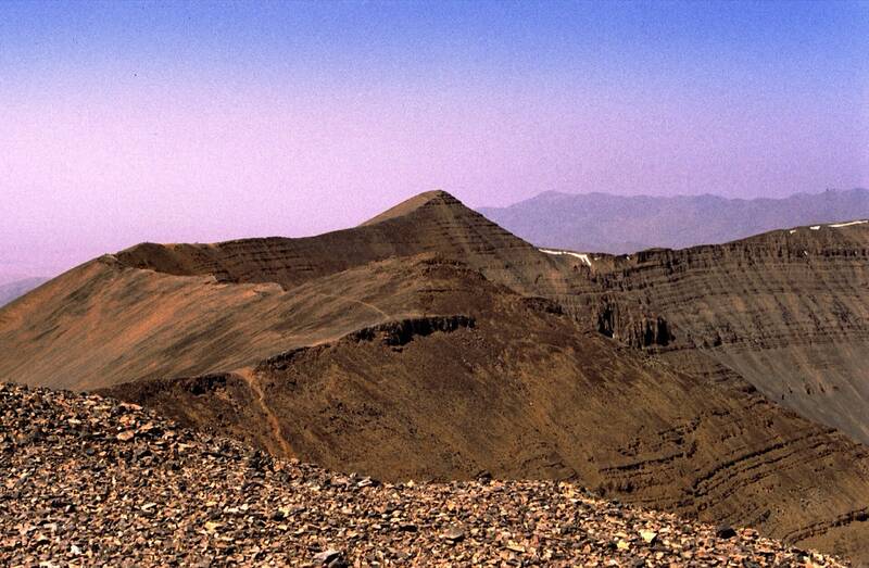
M'Goun summit from Aït Bouguemez
A steep climb over the Tizi n'Oumskiq pass to the Tarkeddit plateau, then a long ridge to the third-highest summit of the Atlas. Big views over the Tessaout and Bouguemez valleys.
2-3days
4,071 mhighest point
harddifficulty
–distancenot published
When to go
JFMAMJJASOND
How high
The trek at a glance
- Start: Aït Bouguemez valley (Tabant)
- From the city: Marrakech (via Azilal), about 4 hours by car from Marrakech (Sun Trails); 4-5 in a reader's report
- Height gain: about 3,385 cumulative over 3 days (Altituderando)
- Where you sleep: Tarkeddit refuge (2,930 m); gîtes in the valley
- When not to go: Winter and early spring: snow on the long summit ridge can force a turnaround. Late spring is best for flowers and full rivers.
- Guide: Advised, not legally required by any source found; guides train at CFAMM in Tabant in the same valley.
Insurance: SafetyWing's base plan covers hiking up to 4,500 m on official paths (their terms); winter routes with crampons may need their add-on. See SafetyWing (affiliate link).
Sources, checked 2026-11-15
Next
More trails nearby
Say yes to the trip
Tell us your email and we'll write when the Wakha app is ready: offline, every city, every answer.