Mountains and hiking · High Atlas
Aït Bouguemez valley walks
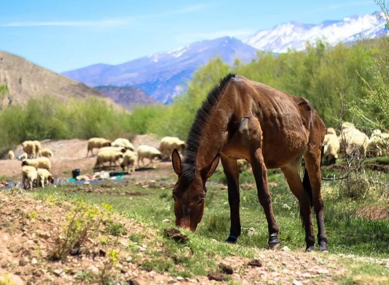
Village-to-village walks through the 'Happy Valley', past fields, old fortified granaries and earth villages under the M'Goun massif. The valley also has dinosaur footprint sites.
1day
–highest point
easydifficulty
11.5 kmdistanceupper-valley loop
When to go
JFMAMJJASOND
How high
A low-level walk: no summit, so no height to compare.
The trek at a glance
- Start: Tabant
- From the city: Marrakech (via Azilal), about 4 hours by car from Marrakech (Sun Trails); 4-5 in a reader's report
- Height gain: about 250 (upper-valley loop)
- Where you sleep: Gîtes in Tabant, Agouti, Imelghas and Aït Mohammed
- When not to go: Winter, when roads can close, and early spring before April, when snowmelt and heavy rain can cut the roads. Ramadan: guides avoid long hikes and cafés close.
- Guide: Not required; paths are unmarked, so a local guide helps with the way.
Next
More trails nearby
Say yes to the trip
Tell us your email and we'll write when the Wakha app is ready: offline, every city, every answer.