Mountains and hiking · High Atlas
Imlil valley day walks
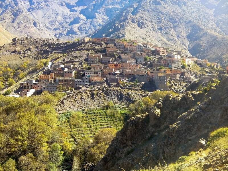
Walks between the terraced villages of the Imlil valley at about 1,800 m, under the Toubkal massif. Imlil is the valley's centre, with guides and mules for hire.
1day
–highest point
easydifficulty
12 kmdistance4 to Aroumd, then 8 more to Sidi Chamharouch
When to go
JFMAMJJASOND
How high
A low-level walk: no summit, so no height to compare.
The trek at a glance
- Start: Imlil
- From the city: Marrakech, about 1.5 hours by car (Fodor's)
- Height gain: about 100 to Aroumd (Imlil 1,740 m to Aroumd 1,843 m)
- Where you sleep: Gîtes and guesthouses in Imlil and Aremd
- Guide: Walks beyond Aremd towards the Toubkal refuges fall under the compulsory-guide rule; village walks around Imlil are commonly guided.
Next
More trails nearby
Say yes to the trip
Tell us your email and we'll write when the Wakha app is ready: offline, every city, every answer.